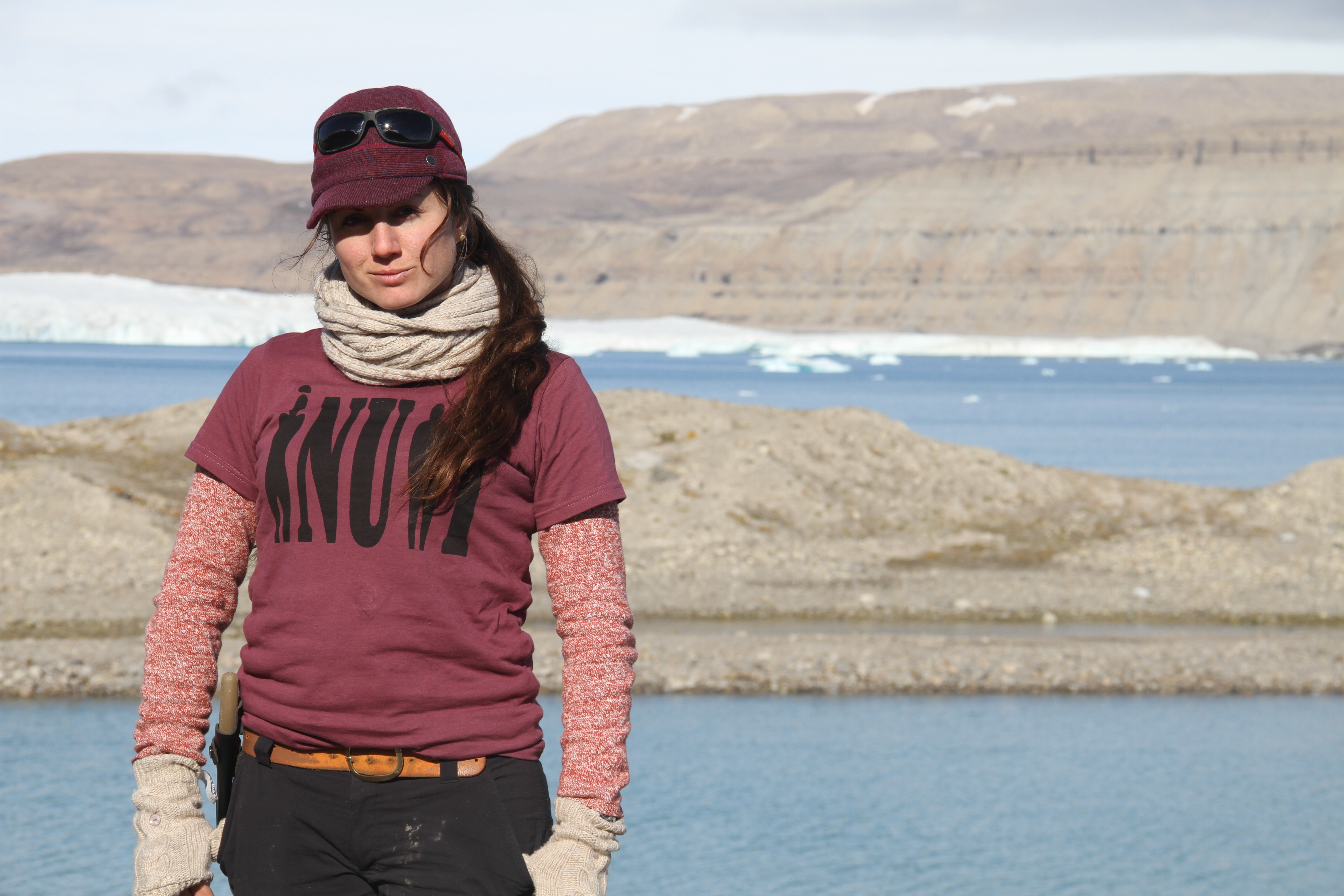
Elizabeth Varner has been busy sending us clear low-resolution pictures to our primitive satellite email. She has been doing her best to gain satellite connection and snapshots of areas just one step ahead of our path. Luckily for us, Elizabeth (our high school STEM intern and home-base intelligence), has been able to provide us additional insight as we move forward.
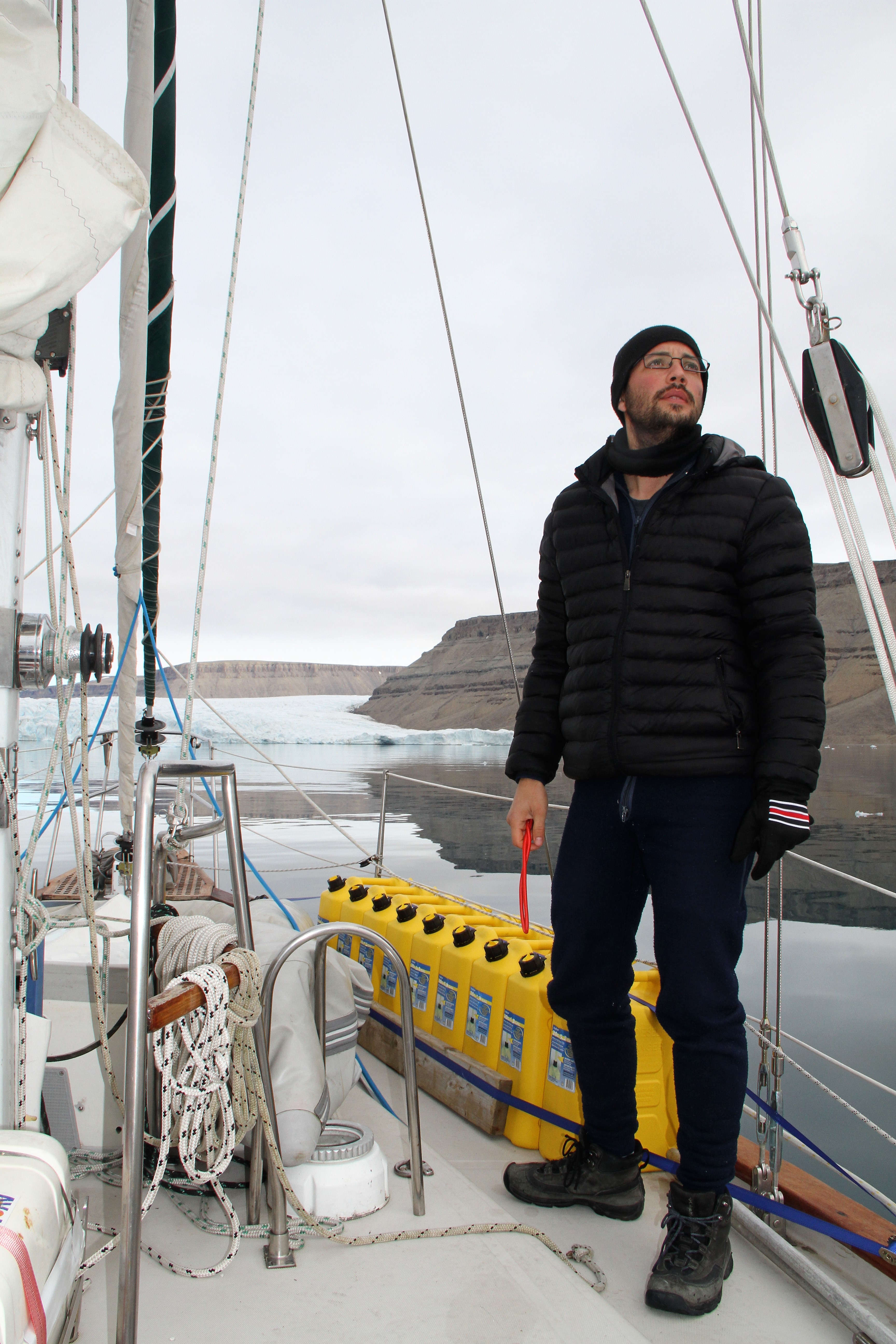
Sailing Baffin Bay is always a trip. The sun pokes out on occasion, for a hot second, between the horizon and a low lying fog band. Going up this way in previous years it was way warmer, way earlier, so we did not have the same hazard pack ice. Pack ice is a good reminder of the annual polar frozen sea. You know how a frozen pool thaws out around the edges before the center melts? That’s Baffin, alright! We realized quickly we had to head up the Greenland coast before crossing Baffin. I would man the wheel for two hours and then had a nice six hours off. This way, our crew of four were able to cycle navigation responsibility around-the-clock for some 400 miles, remaining well-rested until….
A gale piped up taking away our easy-going watch rotation moving to only two people on for four hours each while navigating a fine line between the fringe of trailing bergy bits that shook free from the ice pack to the west and kept course seaward, east of Melville Bay’s shopping mall-sized icebergs. No joke!
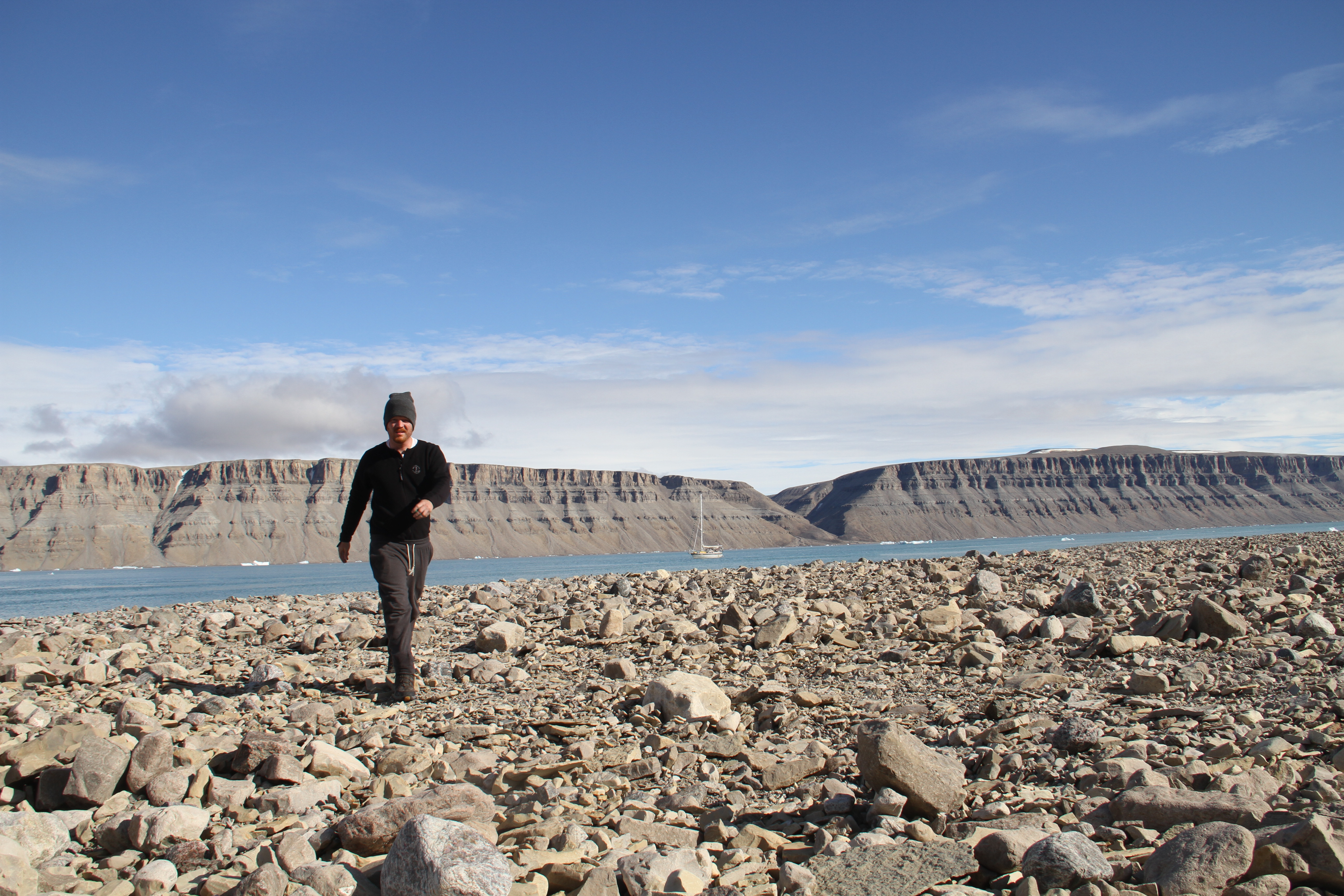
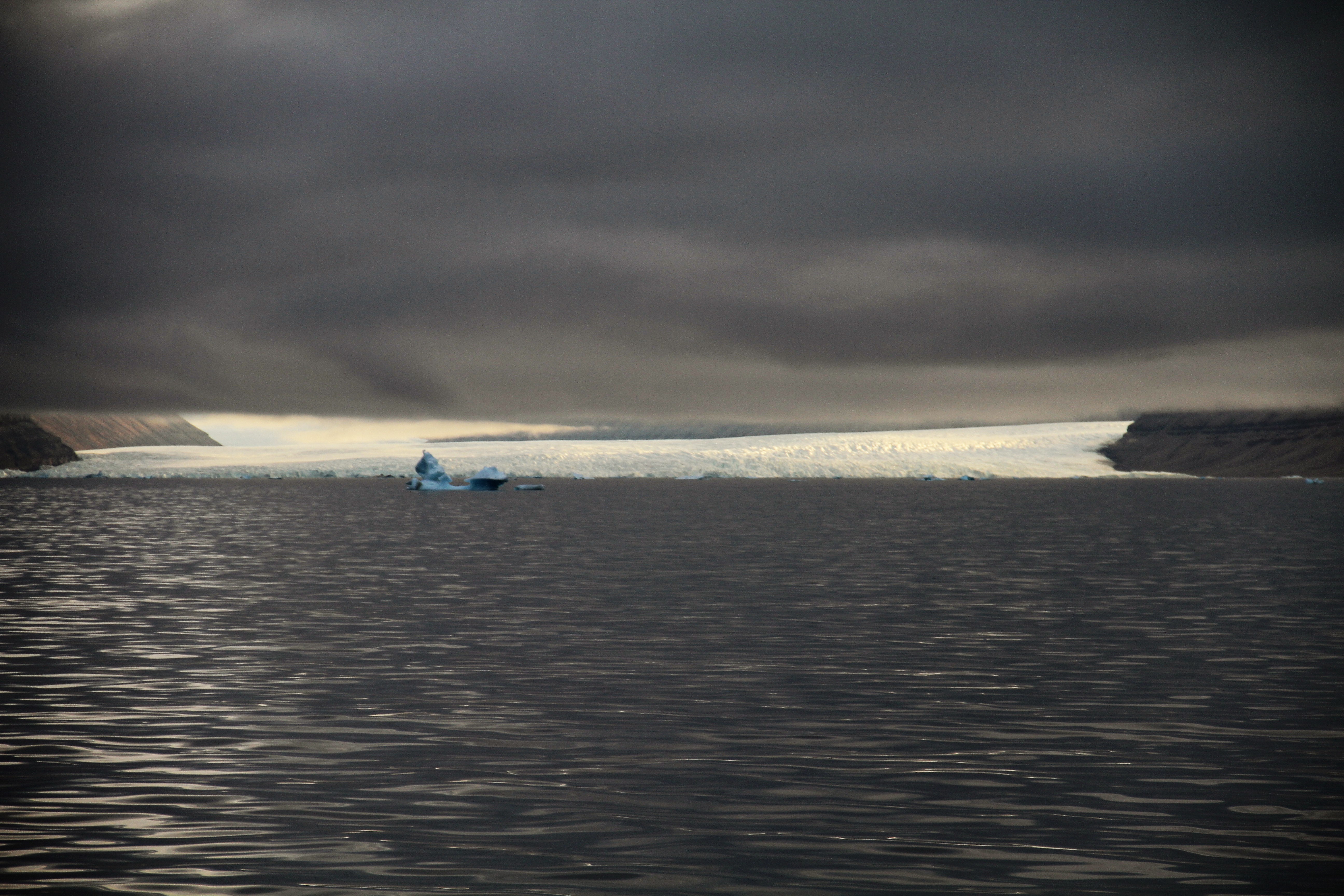
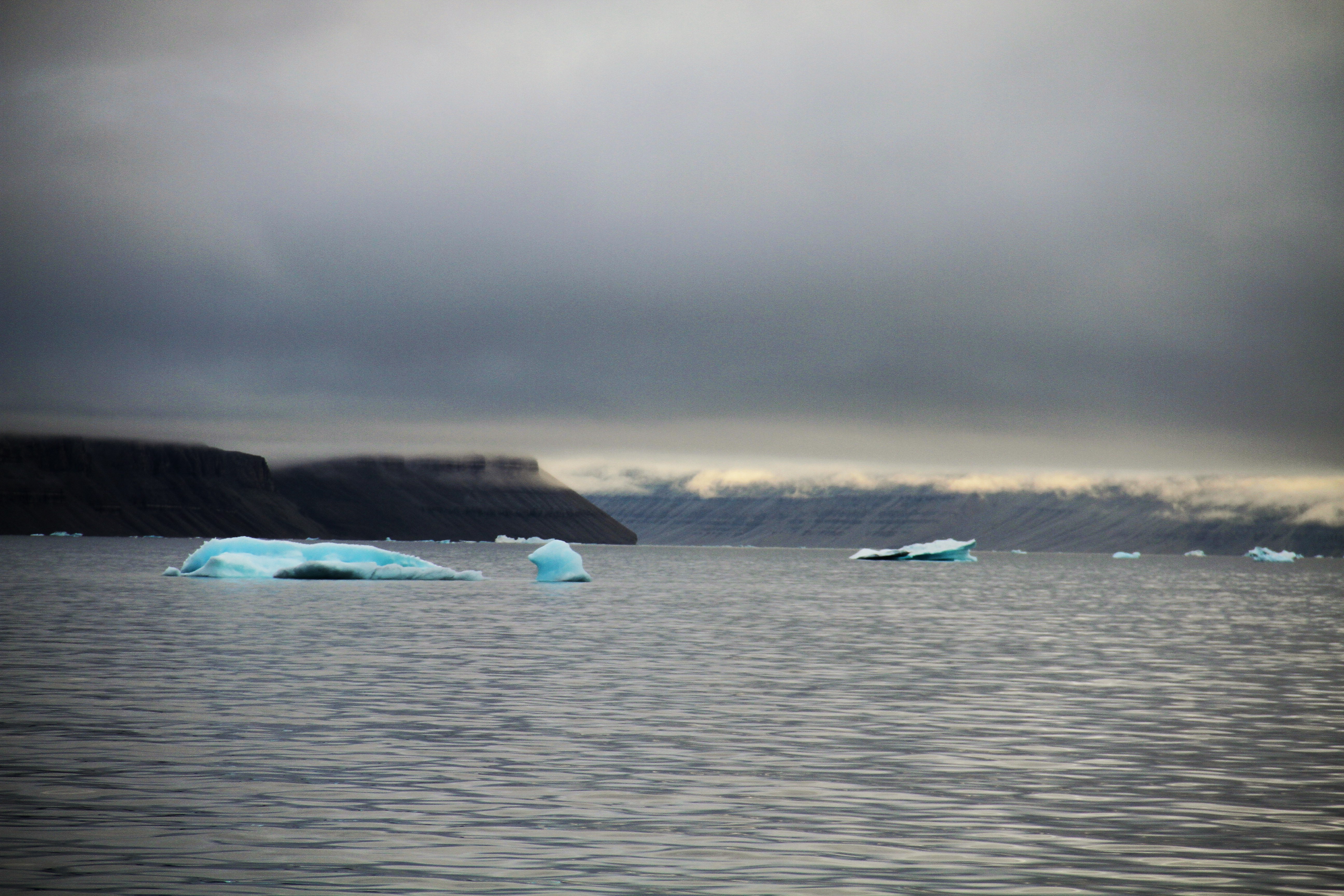 Overcast and blustery cold, the seas grew several feet with fog coming in and out. We had to sail further North than we had hoped in order to avoid crossing the pack. We nearly touched Cape York before starting west towards the Northwest Passage. The eerie white line (stubborn pack ice) paralleling our downwind sleigh ride of a cruise made for a complicated sailing maneuver. We followed the current counter-clockwise around the bay, the very same current that courses through the deep warmer waters of the Atlantic up to the Northwest Greenland coast.
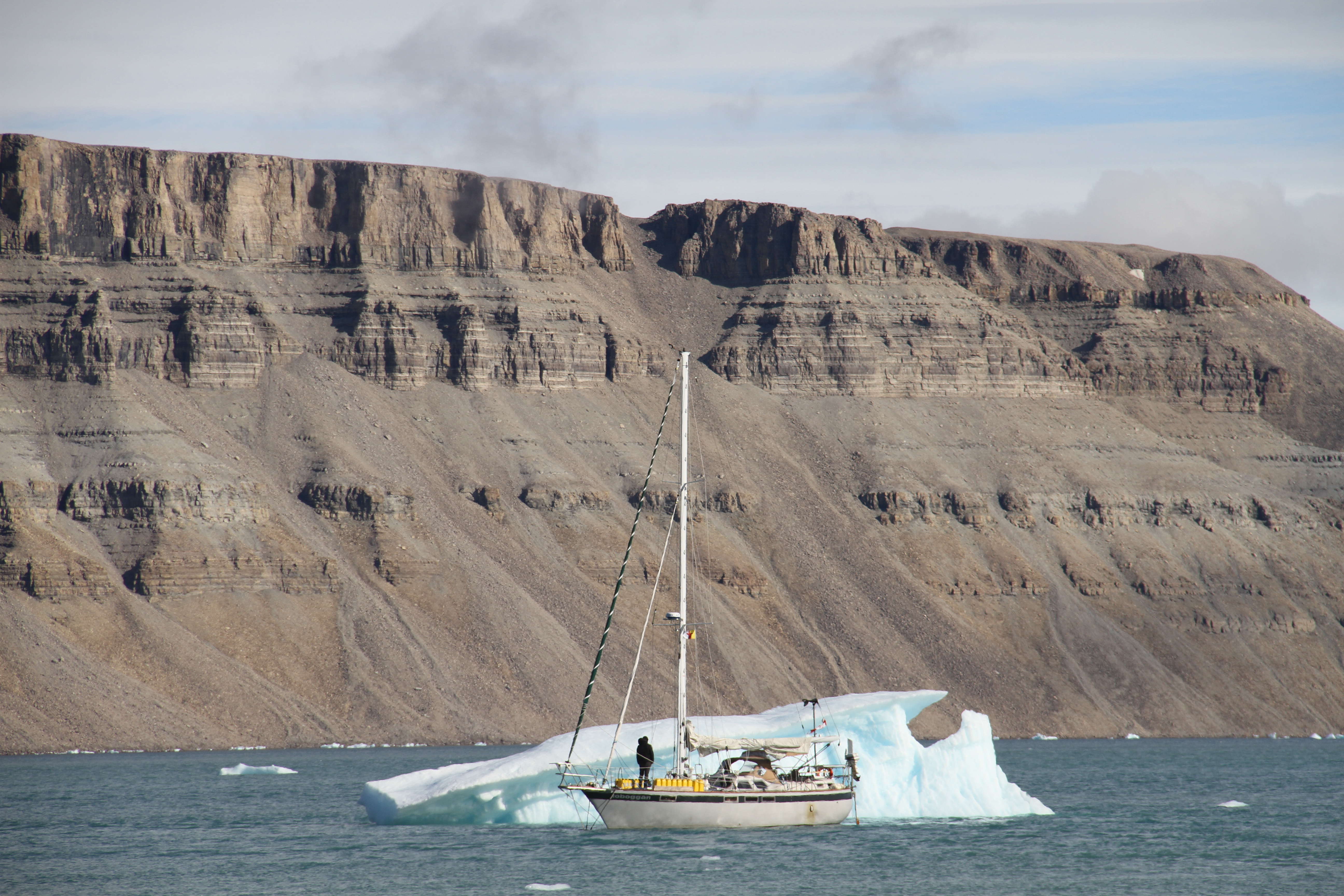
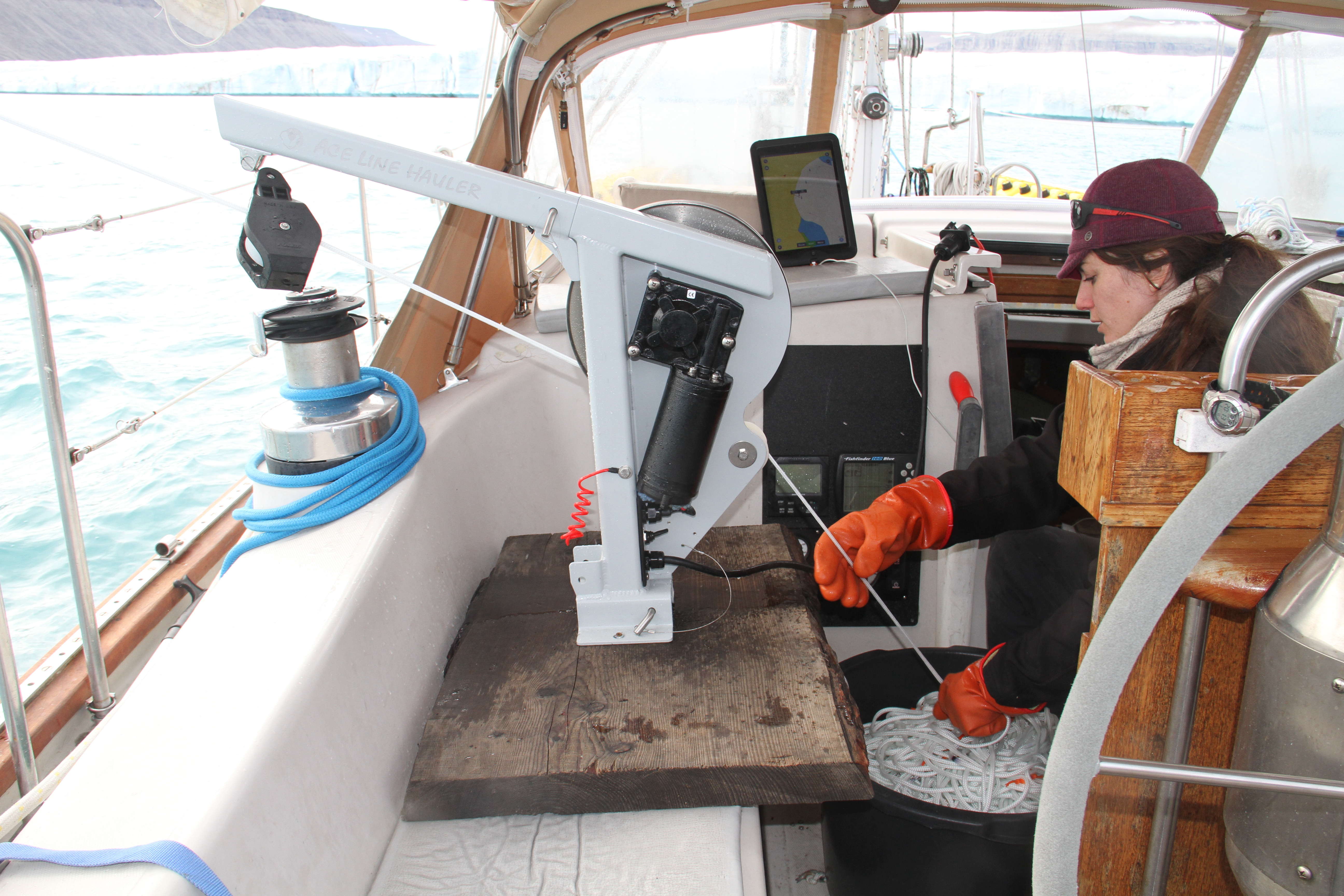
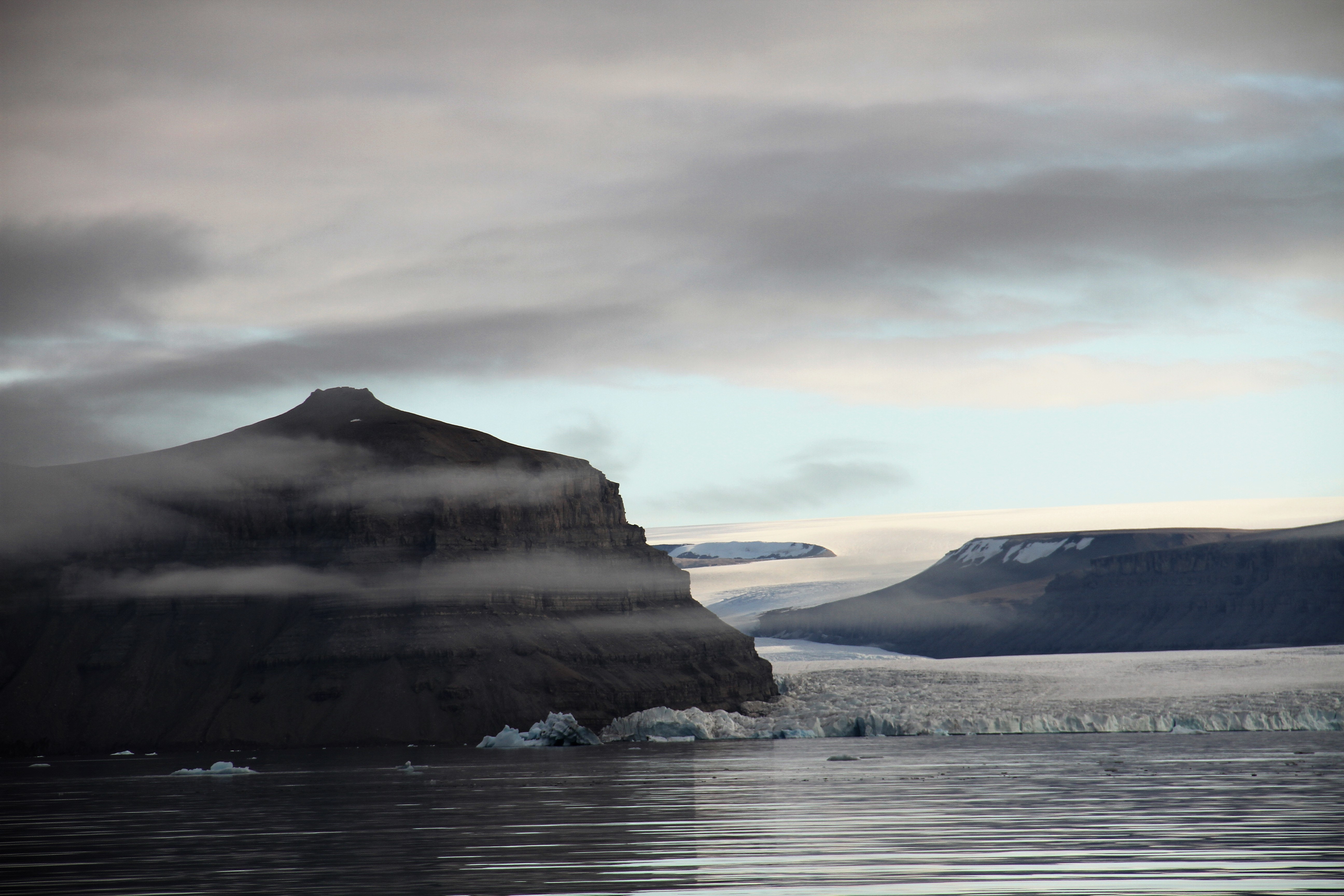
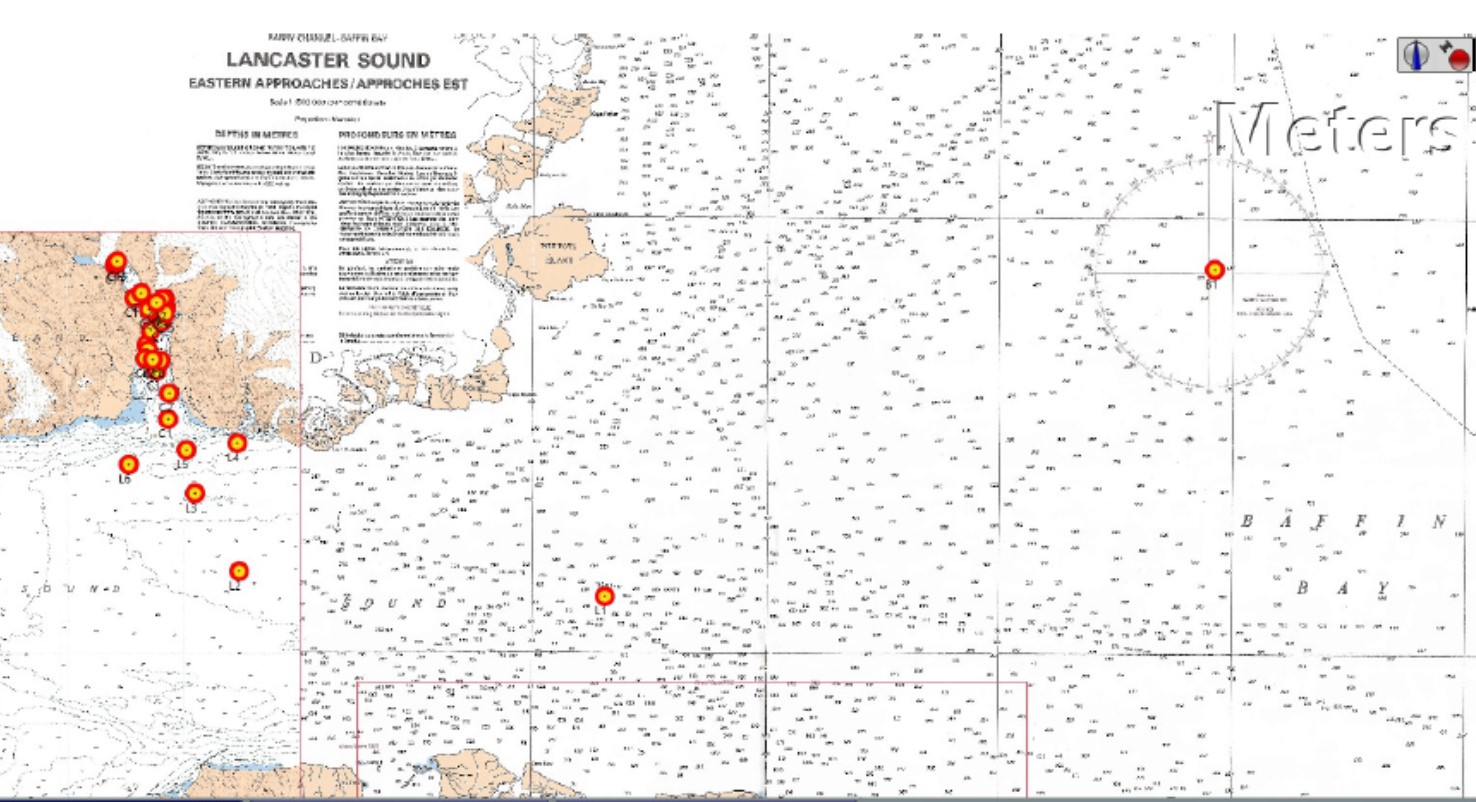
In 2015 and 2016, Matt Rutherford and I took the time to drop off a CTD (an oceanography instrument that measures conductivity, temperature and depth) at random while sailing Northwest Greenland’s Baffin Bay to observe the stronger signal of warm water moving up through the West Greenland Current that feeds deep channels leading to terminating glaciers. Following that precursor physical oceanographic reconnaissance we took advantage of calmer seas and it was time to connect the dots. We conducted a few more CTD casts going west to gauge if the current 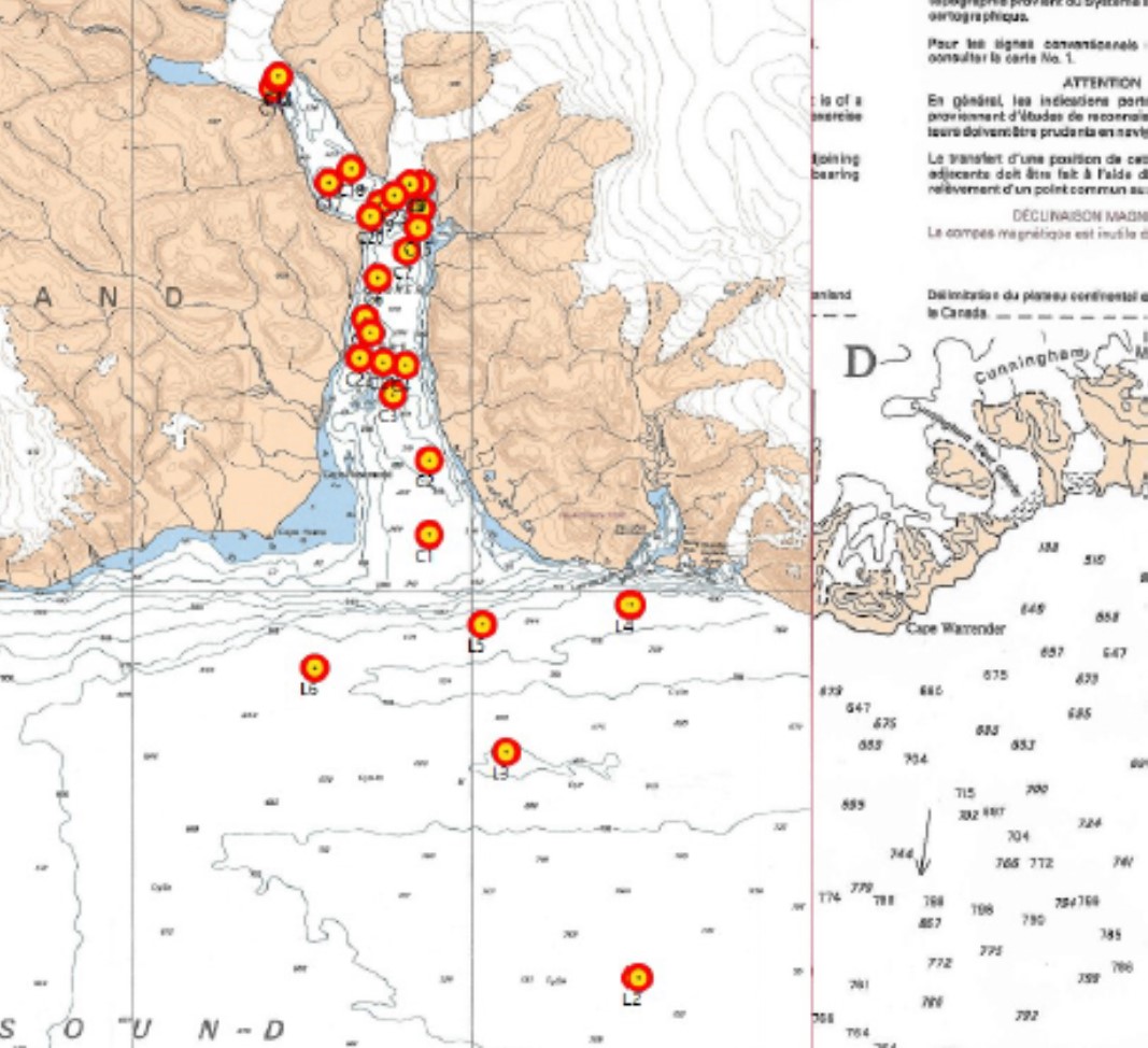 brings warm waters into Lancaster Sound from offshore Baffin Bay. The readings showed a marked spike in temperature and salinity starting about 900-feet deep, as expected. Now wait– here’s the kicker! After reviewing the bathymetry (seafloor depth data) of the first few 100-mile length of Lancaster Sound (NW Passage) and how the seafloor connects to the Croker Bay glacial fjord, I noticed that Lancaster shallows up in a hurry after Croker Bay. Croker Bay itself has a 1200-foot underwater rise at the mouth of the bay without a direct connection to Lancaster Sound. Once you’re in Croker Bay there is a deep channel that winds its way all the way up to the first of two glaciers, Croker South.
Canadian Glaciologists have been puzzled by the behavior of glaciers, Croker North and South. They do not seem to show the same characteristic motion of other Devon Ice Cap glaciers and have not been ruled out to be impacted by ocean physical dynamics.
The Devon Ice Cap is not losing mass ice as aggressively as its neighboring island to the East (Greenland). Devon only has a few ocean terminating glaciers which tend to balance the overall ice cap discharge. Upon observation it appears they take turns in showing signs of active and stagnant melt rates.
Back in Annapolis, I studied the sea floor shape and researched the regional cryosphere (ice-covered part of the planet). Outside of the immediate seafloor obstacle, Croker South Glacier appeared to have the depth channel necessary to accommodate warm water current flow, but after I reviewed historic interpretations of the minimal retreat of the terminating glacier front I became skeptical of the possibility of the warm water presence and weary of my hypothesis.
Are Atlantic-originating currents a factor in Croker Bay South Glacier’s mass ice loss? I turned to Kyle, my watch partner, as we sailed into Croker Bay. And in my super geek-giddiness, I noted that we were on the cusp of our big find! We cruised over the 1200-foot-tall submerged cliff heading to our first deep channel CTD cast site. The answer was YES: the warm water made it over the hump, but it is only present to a marginal degree. The current works its way up to Croker South, getting more mixed and cooler while facing upwelling glacial freshwater discharge and meeting stagnant polar water layers.
To what degree does this discovery help glaciologists better address the physical melt behavior of the Croker Glaciers? I will be diving into this question with fellow scientists after a closer look of the data upon my return.
Garrett checked for the latest ice chart, as he does every 24 hours. Still, the two corridors (Peel and Prince Regent Sound) that connect the Lancaster Sound is still 90% jammed with ice. So, we will rest and enjoy our view of the glaciers from our anchorage until the next ice chart.
Cheers, and until next we chat,
Nicole